Our Services
Visualize your facility’s assets like never before
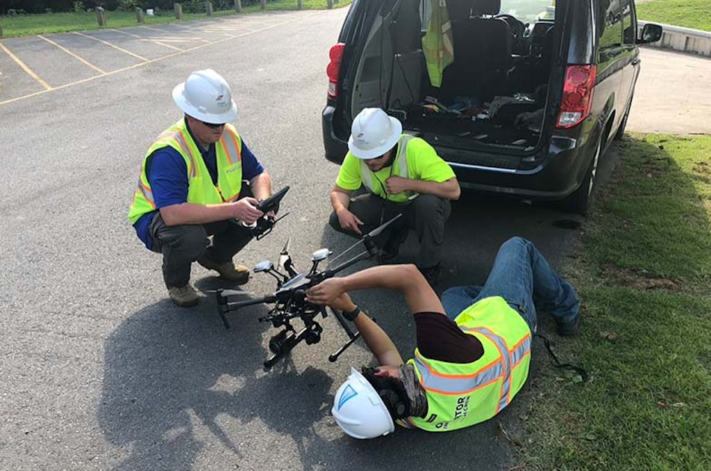
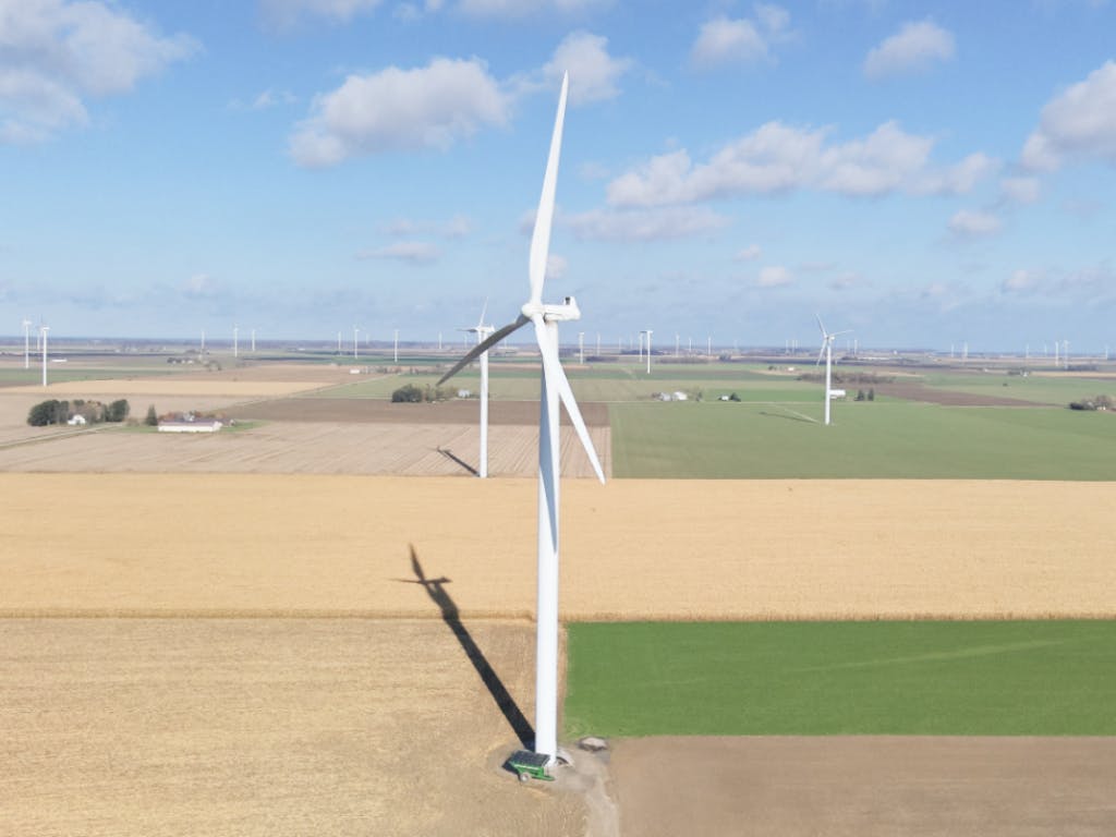
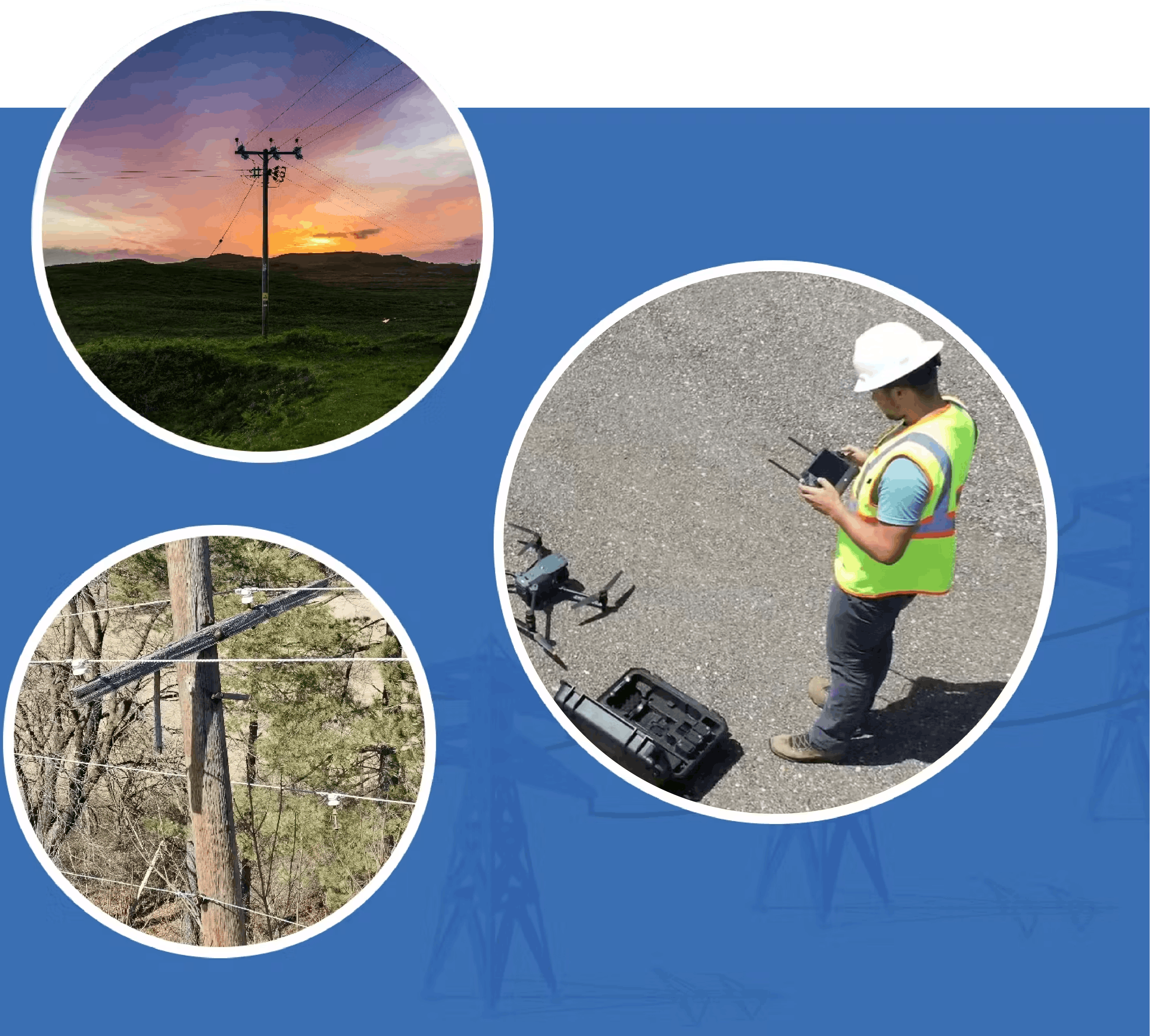
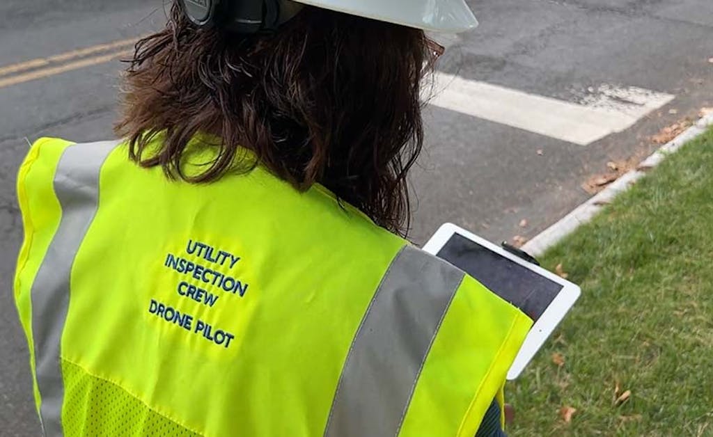
The landscape near your facility is constantly changing, sometimes in dramatic ways. This makes it hard to keep track of your facility’s conditions. Our Panoramic Viewer uses cutting-edge drones with high-resolution cameras to capture a 360° view of your facility from 20 to 400 feet in elevation. Our Panoramic Viewer gives you the detailed and tailored view of your infrastructure that you want.
Our Capabilities
The 360° solution
Our Panoramic Viewer helps you make informed decisions remotely and efficiently. By saving you unnecessary travel time, you can easily access high-quality imagery, including hard-to-see asset points, through our user-friendly mapping platform.
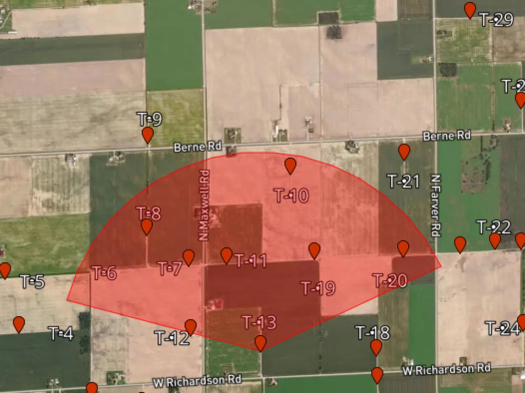
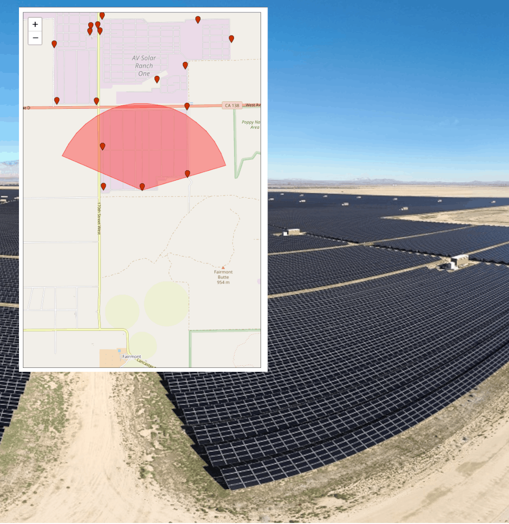
Remote data collection that provides you complete visibility right from your computer:
- Ultra-clear, 8K imagery with a panoramic view
- 10x zoom-in capability from multiple angles
- Up to 50 viewpoints captured in one day
- Customized and unique views from 20 feet to 400 feet height above your highest asset
What to Expect
The Clearsight Panoramic Viewer service provides:
- A complete visual of your infrastructure from multiple heights and viewpoints.
- A detailed view of your infrastructure that satellite viewers cannot match.
- A thorough map view of your facility accessible 24/7 on our secure, cloud-based portal; maps can easily be integrated into your existing system.
The Clearsight Difference
Constellation Clearsight consistently delivers a comprehensive range of data-driven inspections that leverage the latest technologies and exceed the standards set by traditional methodologies. We provide the insights you need to effectively monitor your facility assets, prioritize any work to be done, and improve system reliability. It’s the proven solution to streamlining your operating budget and avoiding unnecessary expenses.
Contact Constellation Clearsight
Contact our expert team today to tailor an inspection solution to meet your program needs.
3 Drone Inspection Data Management Tips to Help Utilities & Co-Ops Get the Most Value