Our Vegetation Management Capabilities
Accurate Locations
Pinpoint prioritized defects to maximize ground tree crew effectiveness.
Manageable Data
View your inspections through our client portal from your desk.
3D Mapping
Our laser scanning technology (LiDAR) enables track changes in assets and their historical records.
Asset Prioritization
Get customizable, high-resolution data prioritized by experts.
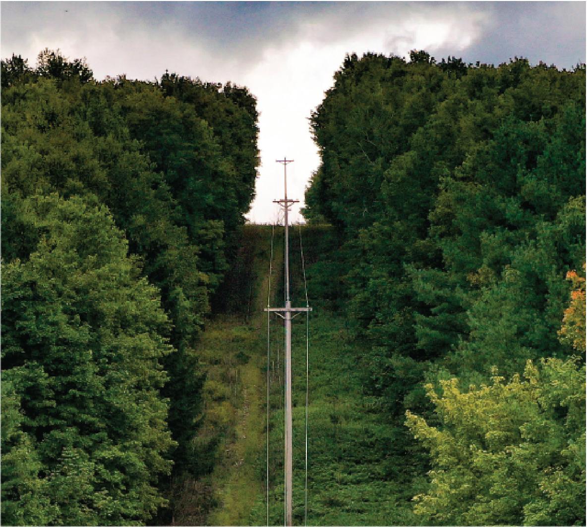
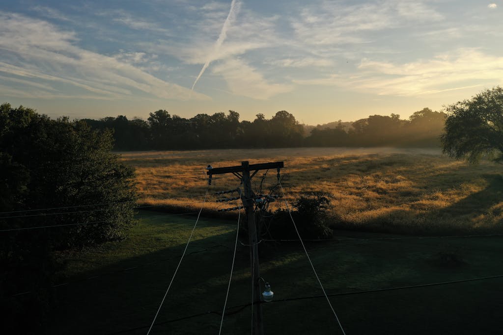
TRANSMISSION & DISTRIBUTION
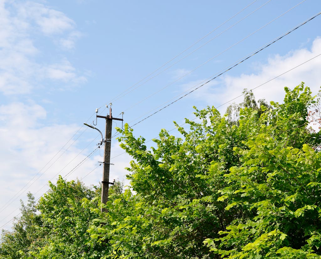
Visual Vegetation Management
Our comprehensive visual inspection solution includes the use of drones for safe, high-resolution imagery, customizable inspections, prioritized defects, and detailed historical data available through our client portal.
- Reduce safety hazards
- Improve decision making
- Unmatched aerial insights

TRANSMISSION & DISTRIBUTION
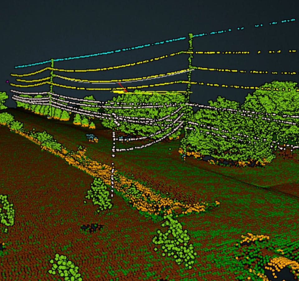
LiDAR Clearance Distance Surveys
Clearsight’s powerful LiDAR survey solution includes accurate engineering-grade measurements, customizable analytics, historical record-keeping, and reduced safety hazards.
- Personalized solutions tailored to your needs
- Compliance with NERC standard FAC-003-4
- Collect in days what typically takes months
TRANSMISSION & DISTRIBUTION
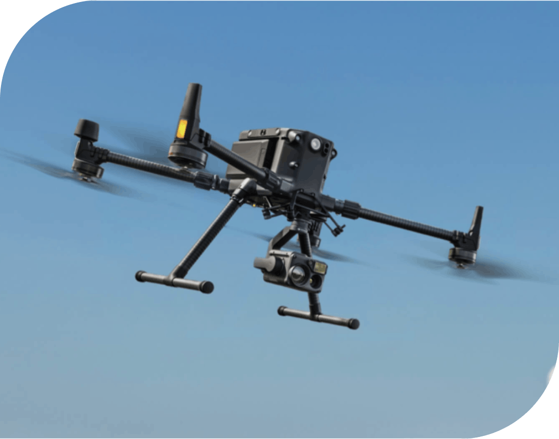
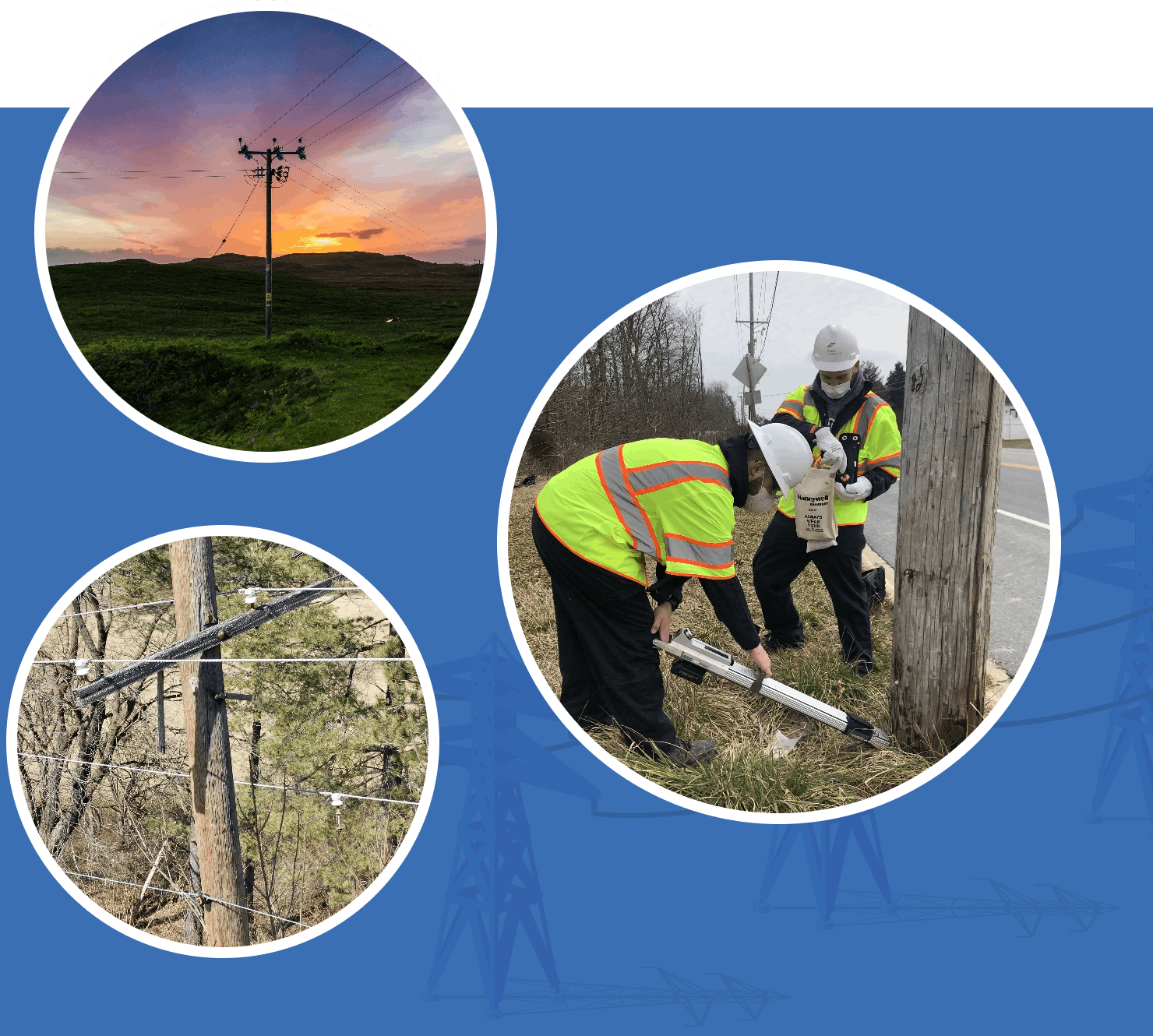
Aerial Drones
We deploy these drones equipped with sensors that offer vantage points of transmission and distribution electrical lines and utility poles. Using these drones to inspect miles of assets saves time, is more economical, and reduces time needed in bucket trucks.
- 15km Max transmission
- 55 minute flight time
- 6 directional sensing and positioning
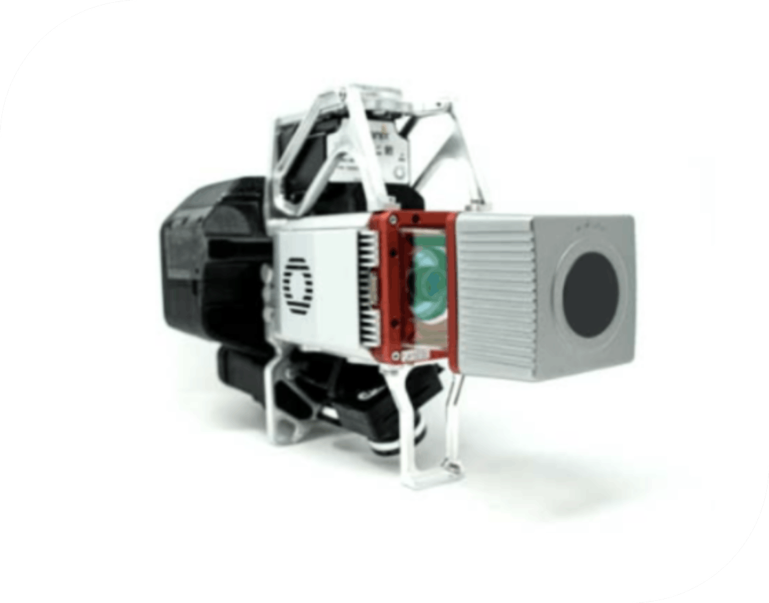
LiDAR Sensors
Clearsight’s 3D Imaging System has sensitivity needed for infrastructure mapping. In addition, its superior ground capturing capabilities for lightly vegetated areas make this the most economical platform for utility grade-mapping.
- 3D color mapping
- 120° field of view
- Vegetation penetration
Optimize Your Vegetation Strategy for Maximum Efficiency
Traditional Inspections
- Bucket trucks and dangerous at-height labor
- Limited sight of aerial components
- Proximity to hazardous assets
- Manual data collection and reporting
Our Inspections
- Drones capture up-close images of components
- Thermal and LiDAR imaging capabilities
- Minimized exposure to hazards
- Widespread area covered quickly
Our Methodology
Our industry experts and certified utility forester, coupled with our innovative drone technology, enables you to monitor, prioritize, and complete any vegetation maintenance work needed efficiently and cost effectively.
Vegetation Management FAQs
-
Why is vegetation management important for utilities?
Vegetation management is vital for utilities for several reasons. Properly planned and performed vegetation management programs aid in the reduction of maintenance costs, power supply interruptions, wildfire risks, and public safety hazards. Fallen trees or branches can interfere with power lines, resulting in costly repairs or maintenance. Overgrown vegetation near utility infrastructure can act as fuel for wildfires, especially in dry conditions. -
What are the types of vegetation management?
Utility companies have several methods at their disposal to manage vegetation around their infrastructure, each with its own benefits and considerations depending on the location and vegetation type. These methods include manual tree pruning, manual tree removal, mechanical vegetation removal, and herbicide treatments. When applied holistically, these techniques can be included within an integrated vegetation management program. -
What are the components of a vegetation management plan?
Several components and best practices can be implemented into a vegetation management plan. These include regular inspection; planning and scheduling; data-driven decision-making for maintenance activities; integration of advanced technologies such as drones, thermal or satellite imagery, and LiDAR; proper training and equipment; stakeholder engagement; and regular post-work monitoring and evaluation. -
What are the goals of vegetation management?
The goals of vegetation management are to control vegetation incompatible with the electrical power lines. Incompatible vegetation compromises program goals, negatively impacting or causing concerns regarding safety, security, access, fire risk, utility service reliability, wildlife habitat, pollinator forage, emergency restoration, visibility, line-of-sight requirements, regulatory compliance, the environment, and more. -
What happens if a tree touches a power line?
There are several things that could happen if a tree touches a power line. It can increase the risk of interrupting the power supply, creating an electrocution hazard to people nearby, and/or become an ignition point to spark a fire, especially in dry conditions.
Reach Out To Our Inspection Teams
Improve the safety and efficiency of your vegetation management inspections with Clearsight’s high-resolution drone imagery and expert support. Message us any questions or inquiries you have about our transmission and distribution vegetation inspection solutions.
Forest Health Monitoring: How Using Drones Helps Protect Vegetation